Els Planos

Difficulty

Easy
Distance
7.24km
Duration
1.00hours
Reccommended Month
JAN
FEB
MAR
APR
MAY
JUN
JUL
AUG
SEP
OCT
NOV
DEC
Elevation
30 m
Altitude at start
1083 m
Altitude at finish
1193 m

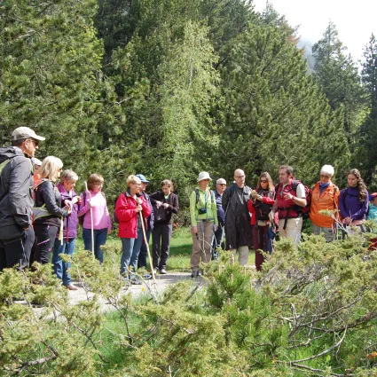
This easy, flat route is perfect for all ages and passes through the picturesque plains of Barruera and Salencar. The trail follows the Noguera de Tor River, with the first section forming a circular loop along the river’s right bank through the plains. The second section extends linearly along the same bank to the Cardet Dam, with the option to continue to the Salencar pond on the opposite side of the river.
The route starts at the children’s playground in Barruera and follows the path toward Erill la Vall.
Exercise caution when crossing the footbridge over the river.