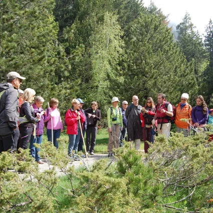
Starting in Barruera, follow the trail to Durro (Hiking Trail 4). Upon reaching Durro (1,390 m), begin below the Church of the Nativity, heading left and passing through a stone arch on the right. Continue along the path, which initially coincides with the trail to Barruera, maintaining a steady elevation as it winds around the mountain. Pass through meadows and terraces before entering the Obac pine forest, eventually arriving at the abandoned village of Saraís (1,340 m). Navigate carefully through Saraís due to the poor condition of the houses, exiting at its lowest point. From there, descend steadily along a path bordered by dry stone walls until reaching El Pont de Saraís (1,006 m). At this point, take the Water Trail (Hiking Trail 2) to return to Barruera.


Starting in Barruera, follow the trail to Durro (Hiking Trail 4). Upon reaching Durro (1,390 m), begin below the Church of the Nativity, heading left and passing through a stone arch on the right. Continue along the path, which initially coincides with the trail to Barruera, maintaining a steady elevation as it winds around the mountain. Pass through meadows and terraces before entering the Obac pine forest, eventually arriving at the abandoned village of Saraís (1,340 m). Navigate carefully through Saraís due to the poor condition of the houses, exiting at its lowest point. From there, descend steadily along a path bordered by dry stone walls until reaching El Pont de Saraís (1,006 m). At this point, take the Water Trail (Hiking Trail 2) to return to Barruera.